


Things to Do in Manchester
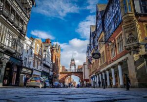
Creative TouristNot many cities have had as much influence on the world as Manchester; its streets are steeped in history, from the industrial to the cultural. But it’s also an ambitious, future-facing city, one that sets trends that ripple across the wider North.
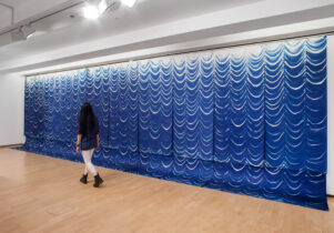
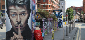
What should you be paying attention to right now? The new year’s starting strong on the art front, with Lowry presenting the new, immersive exhibition The Guardians of Living Matter, while PINK in stockport is sees Chris Thompson unveil an uncanny, interactive cabinet of obsessions, inviting visitors to uncover shifting, unstable narratives.
As for theatre, our fringe highlights include The fire raisers at Hope Mill and The Execution of Private Slovik at 53two, while the larger surrounds of the Royal Exchange will be filled with a host of brilliant shows celebrating the theatre’s 50th anniversary.
Music? Both Sorry and Bar Italia return to the city with a sharpened sound, Westside Cowboy present their much-hyped debut EP, and the ever-enigmatic Mark William Lewis is back at The White Hotel. Oh, and we’ve heard that a little known singer-songwriter called Neil Young is playing in a park somewhere…
And whether you’re new to the city or a lifelong local, Jonathan Schofield’s walking tours offer a fresh way to get under Manchester’s skin — closer to the stories, sights and spirit of the city in 2026.